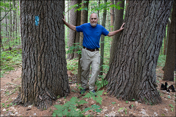
Udell Hills Road to Udell Trailhead
5.5 miles: 153.1 miles total
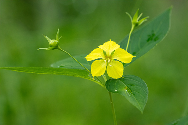
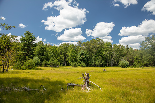
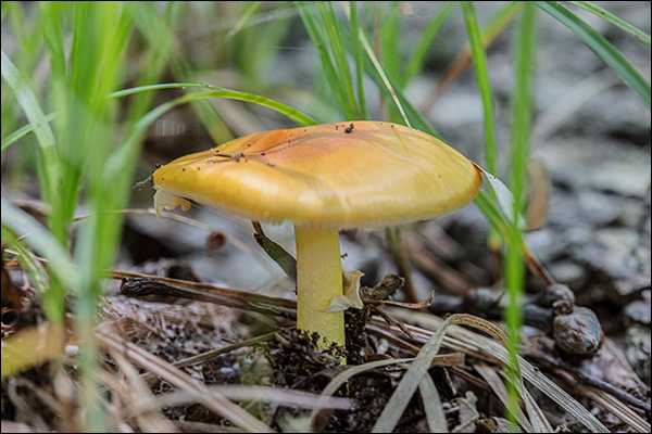
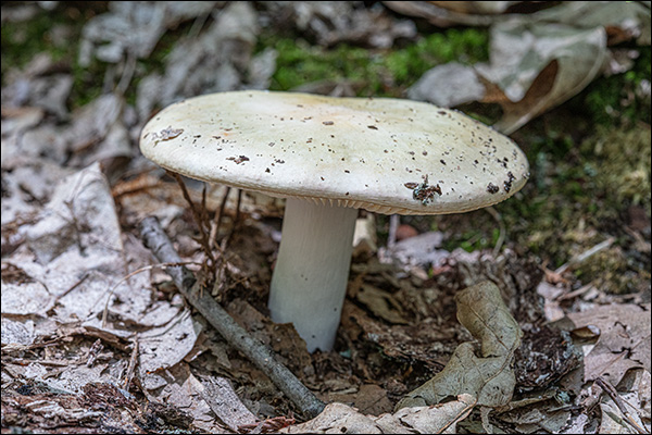
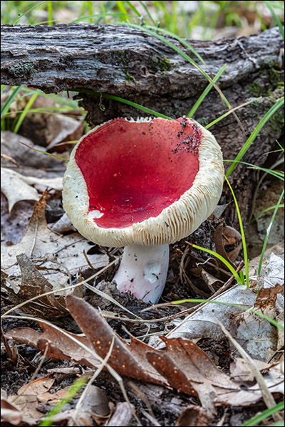
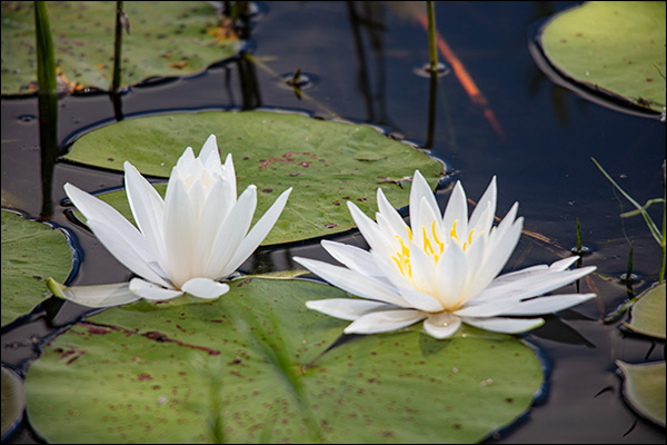
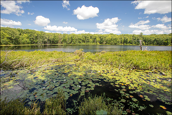
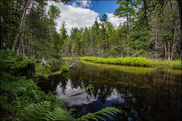
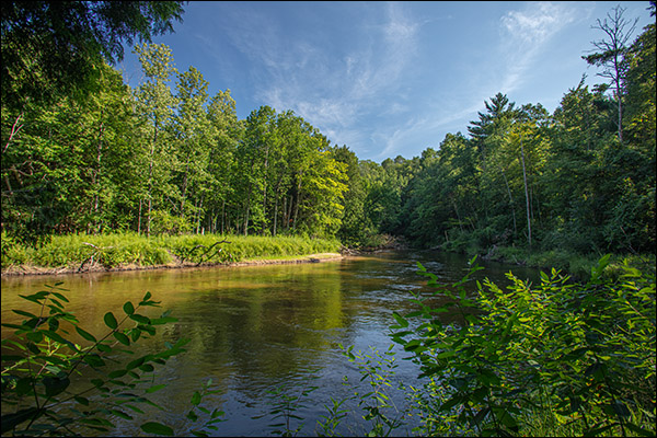
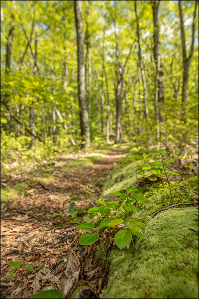
Most of this section of trail follows a ridgeline that is the western edge of an large elevated glacial deposit called the Udell Hills. Although I enjoyed the hike I’ve found that upland forests present less opportunities for photography than wetlands and meadows.
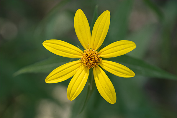
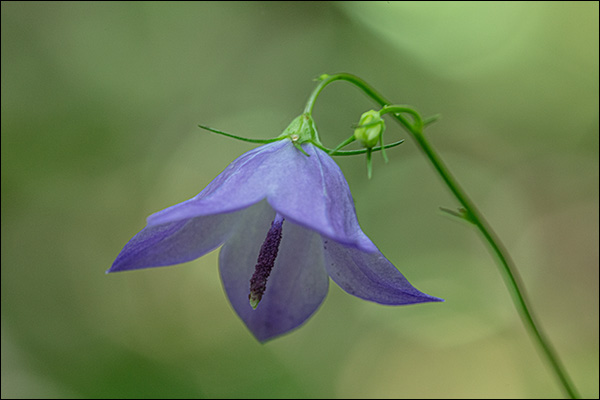
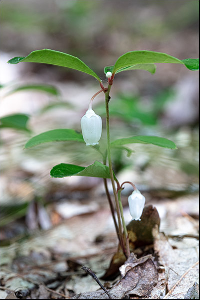
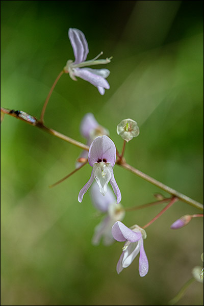
Wintergreen grows among the moss that lines much of the trail through the Udell Hills. 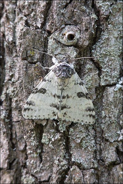
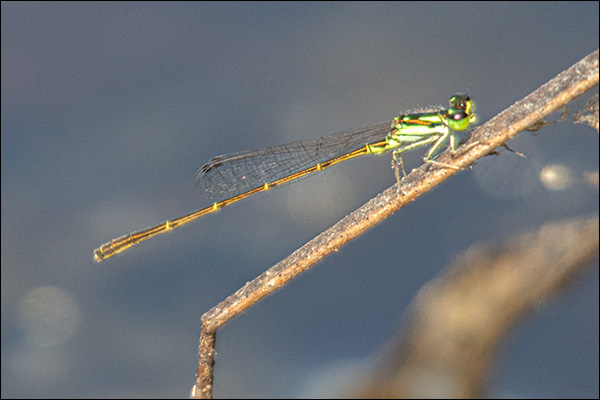
I think this large moth was some type of dagger moth.
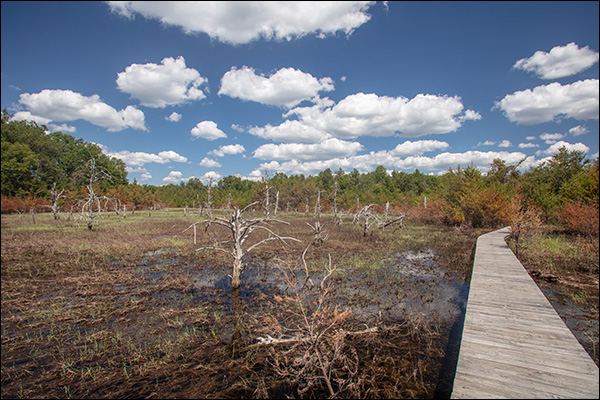
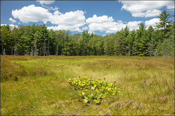
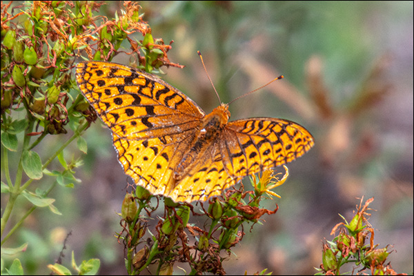
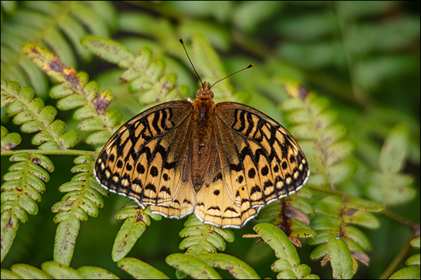
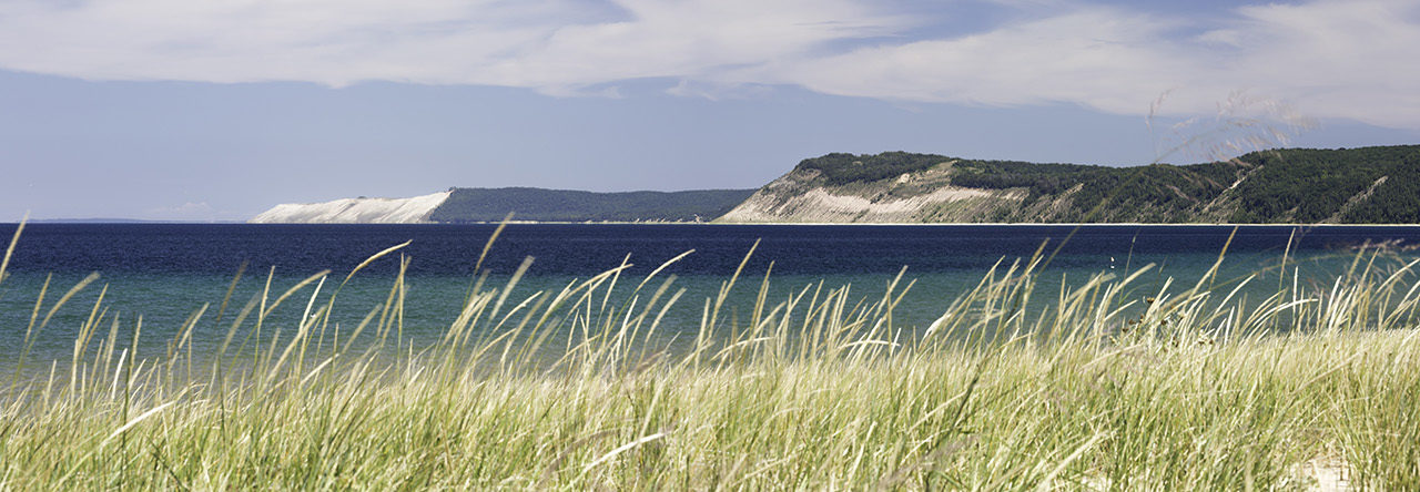
The next day was drizzly and cloudy so I explored the area without going on a longer hike.